
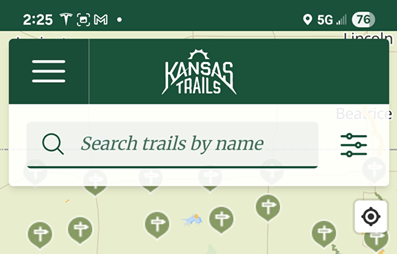
Bringing Kansas Trails to Life
Our mission is to connect and empower trail users, builders, and communities by providing comprehensive trail maps, expert resources, and advocacy support—ensuring Kansas trails are accessible, sustainable, and thriving for generations to come.
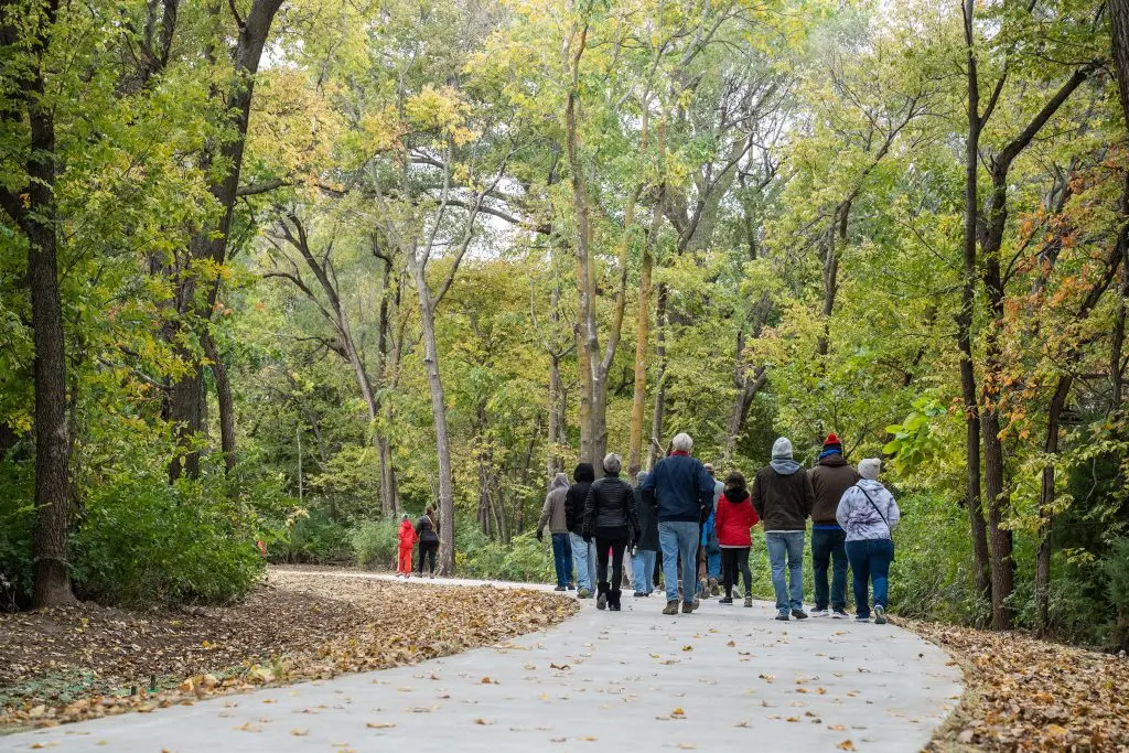


Stay connected with the Kansas trail community—explore expert tips, trail-building insights, and stories that celebrate the impact of trails across our state.
Our Supporters
Kansas Trails Inc is made possible by the generous funding from the Sunflower Foundation
Interested in becoming a sponsor?


Notifications